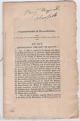
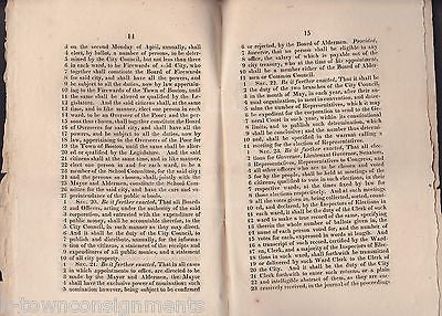
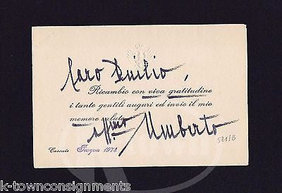
ORIGINAL HISTORICAL EPHEMERA
Atlas of the World
Atlas of the World
Brooklyn, NY
Manhattan, NY
ANTIQUE RAND McNALLY GRAPHIC
ENGRAVING CITY MAP
1898
ENGRAVING CITY MAP
1898
MEASURES 11.5 x 14.25 INCHES
SUITABLE FOR FRAMING
SUITABLE FOR FRAMING
ONE OF TWO SIDES
GOOD CONDITION,
W/ LIGHT AGE WEAR
PLEASE SEE IMAGES
Free secure domestic shipping on most items, using re-usable and recycled packaging wherever possible.
Similar #ephemerafinds:
Recently viewed
More from Our Entire Inventory


